Southland weather update, 8.40pm, 01/07/23
30 June 2023, 9:15 PM
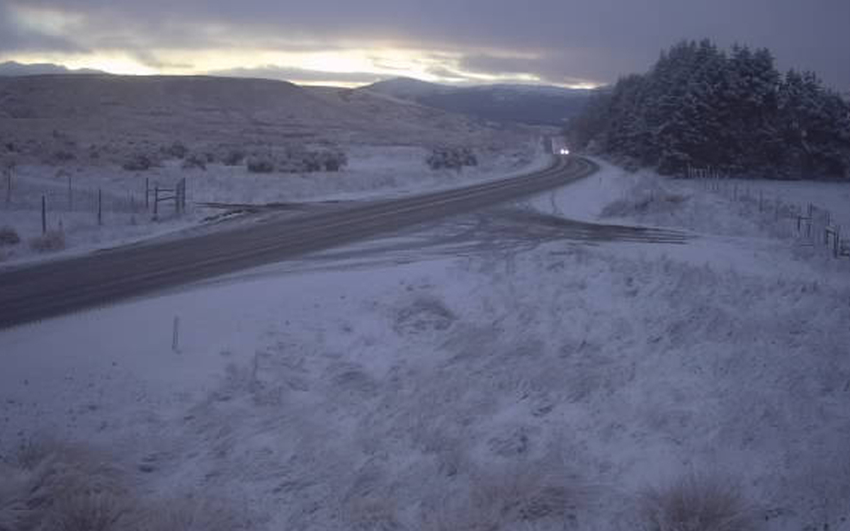 Gorge Hill at 8.32am on 1st July. Photo: NZTA
Situation 8:40am Saturday 1st July
The deep low southeast of NZ is slow moving, the wind flow over the southern region at low levels is a little NW on the surface and presently showers are confined to south of Lumsden across to Tapanui, with a particular concentration overnight across SH93 where snow fell slightly earlier than expected.
Shower frequency is expected to increase this afternoon over the whole region, spreading further inland this afternoon and evening, as winds shift a little to the southwest.
Today,
Up to noon, showers (with hail to sea level) continue in coastal and central and eastern Southland and into South Otago. From early afternoon on showers spread further north and probably into the Te Anau basin. Snow level around 300m lowering to 200m this evening.
SH93 Mataura to Clinton:
4-6cm above 300m, and from this afternoon into tomorrow could reach 20cm with lesser amounts to 100-200m
All other areas, slowly from mid afternoon up to 6-8cm above 200m and above 300m falls could reach 15cm by Sunday morning.
Overnight lows ms03C on all higher roads, 1C near th3 coast. Tomorrow's high 2C inland, 5C near coast.
Road icing risk high in all inland areas.
Milford Road
Due to snow conditions, Milford Road will be closing at Hollyford Road and the Chasm at 4.30pm on Saturday 1st July, reopening approx. 10am Sunday 2nd July after snow clearing.
Snow is forecast throughout Saturday and snow ploughs will be operating. Road users are advised to drive with care.
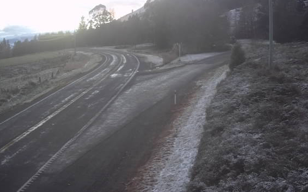
SH6, Jollies Hill, 8.30am, 01/07/2023. Photo: NZTA
Sunday 2nd
Strong cold showery SW winds with widespread showers, hail, snow to 200-300m at times.
Monday 3rd
Cold showery weather, strong SW winds continue, snow level rising above 600m during the day.
Tuesday 4th
Fresh coastal SW winds slowly easing, showers lighter and mostly south of a line Otautau to Gore. Frosts well inland, snow level 900m
Wednesday 5th
Coastal cloud with moderate westerlies, fine and frosty inland.
Outlook
Fine with frost into the end of the week.
45South
CLICK HERE to view more Southland webcams.