Road Snowfall Report for Southland - Final update

Waka Kotahi NZ Transport Agency
07 August 2025, 10:03 PM
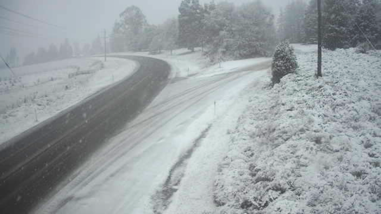 Road snowfall. Photo: NZ Transport Agency
Due to snow and winter conditions, an area warning is in place on SH6 between Lumsden and Kingston, please drive with care.
The cold SW flow is quite gentle on the surface still and in fact ground level breezes are slightly north of west while cloud and showers are travelling from the WSW.
Snow level has fallen to around 400m, showers at the moment are mostly south of a line Otautau - Waikaia but as the wind flow becomes a little more dominant from the SW aloft a few showers will get into SH94, where some light snow accumulation is likely on the higher section of that highway.
Update: 12:00pm
Although we have a cold SW flow over the region, it's well sort of the the 'average' cold winter outbreak at the moment and a reflection of the reluctance of low pressure systems in the southern oceans south of New Zealand to really wind up this winter (barring that short event at the end of May of course)
The current low to the south-east of Stewart Island isn't deep, and consequently surface winds over the region are still unusually light.
Even so, at some point during today they should tend to swing more emphatically to the SW and become fresh at times overnight, but nothing like the 25-30kt winds we'd be getting if the southern ocean lows were at even average strength.
Showers are also quite 'small' and widely scattered at the moment. There is no sign of any of the showers merging together inland that produce longer duration snowfalls.
There is also little if any sign that showers coming up from the SW will form larger areas.
So, although some light snowfalls are still expected to 400-500m over the next 24hrs, it's looking unlikely that there will be a widespread cover anywhere around the region.
Road icing is likely to become an issue in places tonight, mostly inland.
Update: 2:30pm
A moderate SW change has arrived on the coast and slightly heavier showers are now going inland although at the moment not north or west of Lumsden.
Tthese are still not merging to any degree either, but may be giving some local hail areas.
Temperatures have lifted a little and the snow level also up to perhaps 600-700m, but as the afternoon and evening goes on this will probably drop back to around 500m and some showers are still likely to get further north and west with a risk of scattered light snow accumulation on SH94 and SH6 later this afternoon and overnight.
Final update: 4:00pm
Showers continue to move steadily across the region, more so over western and central Southland, and a decrease in size and number north of the Taringatura and Hokonui Hills.
Temperatures still remain a little high for snowfall below 600m (although there may be some hail in heavier showers) but that level is likely to fall back a little as we go into the evening.
There is still little sign of shower areas merging, so it looks like there may only be scattered and quite light snowfalls on SH94 and SH6 north of Lumsden overnight.
Colder overnight temperatures bring a risk of some icy patches forming on wet roads overnight, especially at higher elevations inland.
Next forecast at the usual time tomorrow morning.