Miserable cold outbreak set to continue until Wednesday morning

Marjorie Cook
28 September 2020, 4:03 AM
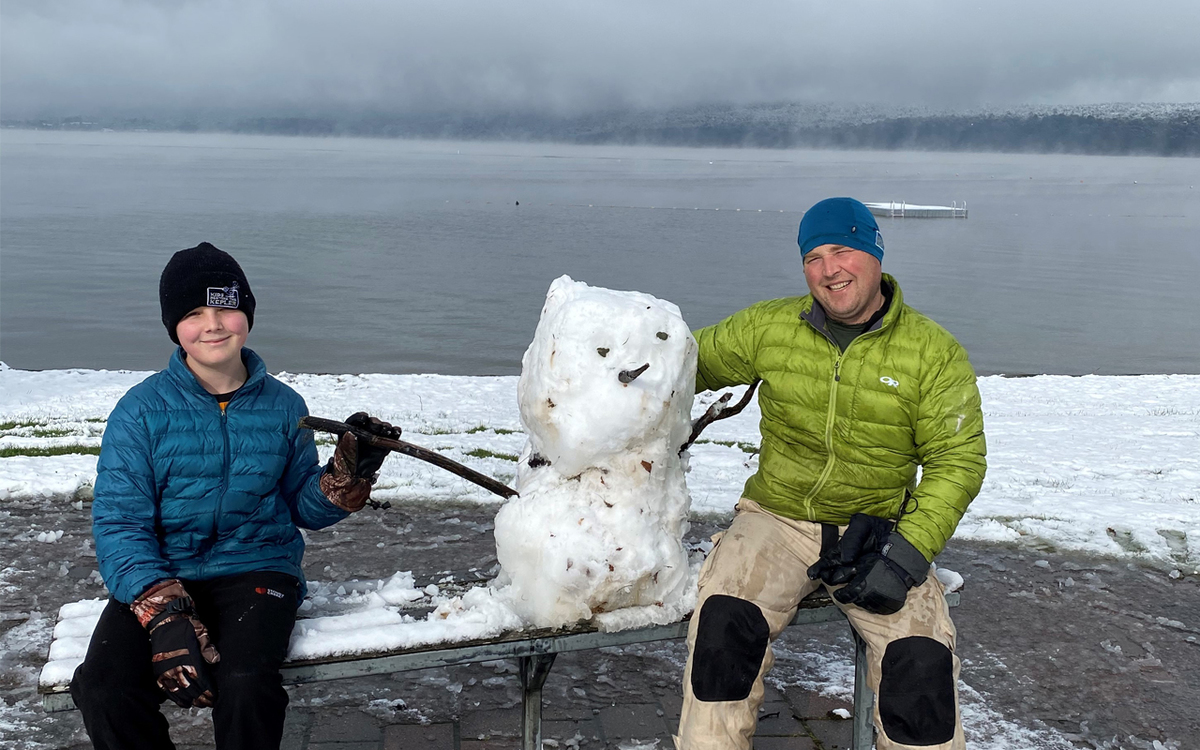 Jasper Carter and his dad John with a snowman in Te Anau. PHOTO: Claire Russell
Today’s miserably cold conditions are likely to continue until Wednesday morning, but the spring snowfall should come as no surprise to Southlanders, 45South Weather Services manager Andy Fraser says.
“It is not totally unknown to get this type of thing at this time of the year . . . There’s been a few of them over the last 10 to 15 years in September and even November, if you go back into the 1970s,” Mr Fraser said.
Snow had fallen at varying depths around the region, with the most snow falling in coastal areas this morning, before moving inland.
Advertisement

Advertise on the Southland App
While snow was melting off the roads by later afternoon, more snow on the roads was likely, Mr Fraser said.
“We are not over it. It will go for another 24 hours,” he said.
The prevailing wind was from the south-west and the same strength and direction would continue until Wednesday, when temperatures should be warmer, and snow should no longer be an issue.
Behind glass, with the sun streaming in, things were “glorious”.
“It is that sort of day. I’ve been outside to do a small number of things . . . but it is not a day to do much outside.”
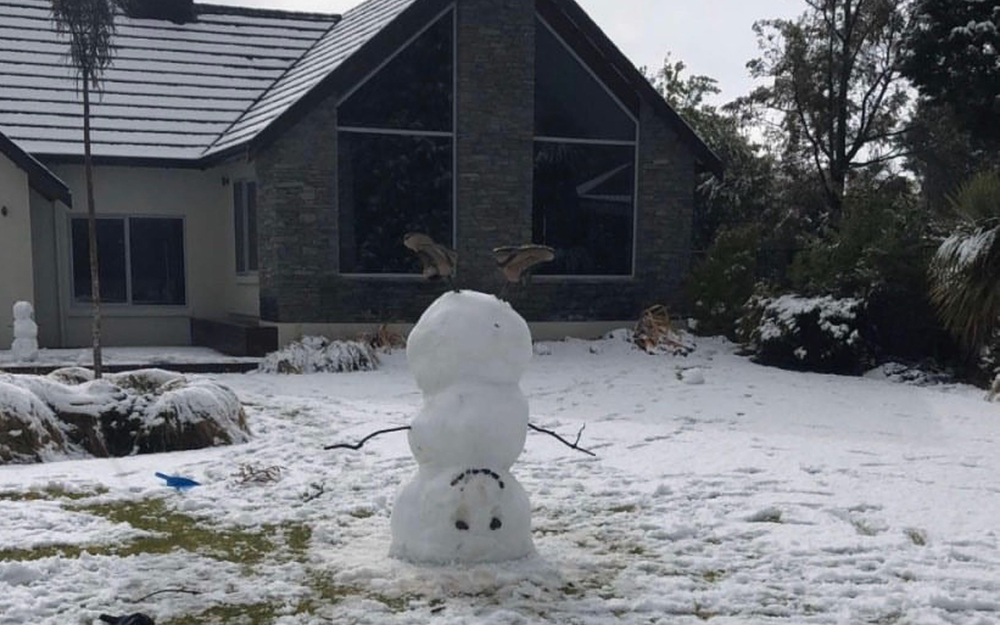
Spring time snow in September. PHOTO: Claire Russell
“I would say there would be a number of farmers around the region pulling their hair out, but we are only a month out of winter. That’s not long. It is just that we haven’t had many stormy spells like this for the last couple of years.”
“Anyone for whom this has come as a surprise to doesn’t know Southland or the South Island.”
Advertisment

Advertise on the Southland App
Mr Fraser said he’d met North Island holiday makers who were enjoying the southern weather and had had a bit of everything: “some lovely weather and some horrible weather”.
Snow on the beach at Stewart Island wasn’t that common though it was not unusual to get snow on the top of Mt Anglem, he said.
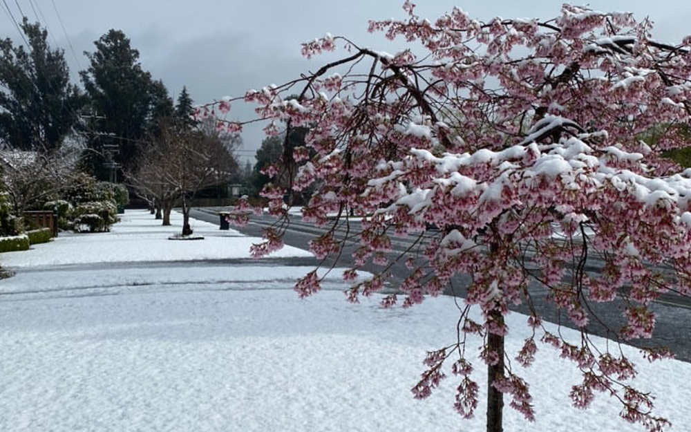
Weather's all topsy turvey in Te Anau. PHOTO: Claire Russell
The Metservice has put heavy snowfall warnings in place throughout Southland and Fiordland, with quite a bit more snow expected overnight Monday until 9am on Tuesday.
Totals of up to 500m snow could be expected in remoter places in Fiordland overnight and the heavy snow warning for Fiordland could be extended.
The forecast for Invercargill on Tuesday is snow showers, becoming sleety towards evening, and strong southwesterlies.
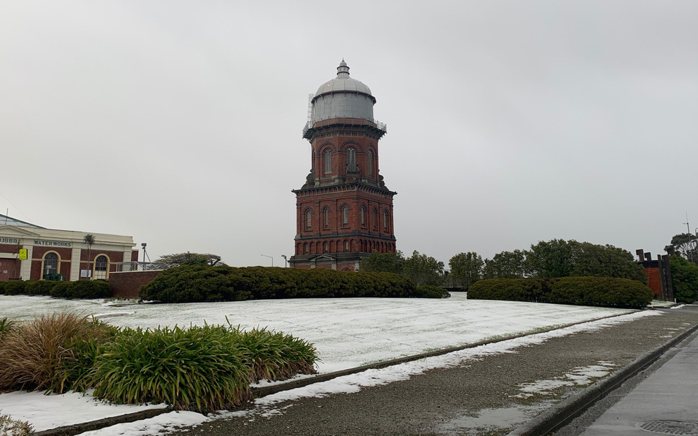
Invercargill's iconic water tower surrounded by snow. PHOTO: Lucy Henry
In Te Anau and the Fiordland region, Tuesday should bring scattered snow showers, and some may be heavy.
There will be strong southwesterlies, gale gusting 80 km/h near the coast until afternoon.
Gore has a similar forecast to the rest of Southland.
Travel advisories are also in place around Queenstown and Central Otago, where snowfalls overnight are expected to be lighter, at between 5cm and 10cm, but would come down to about 300m and affect the alpine passes.
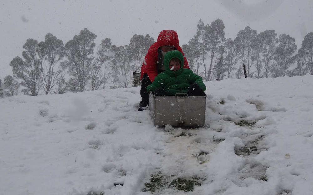
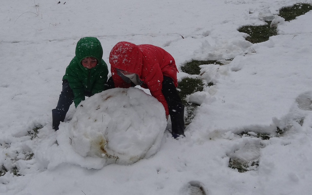
Jessie and Jacks Henry enjoy some school holiday fun at their grandparents' property at Mokoreta. PHOTOS: Alasdair Henry