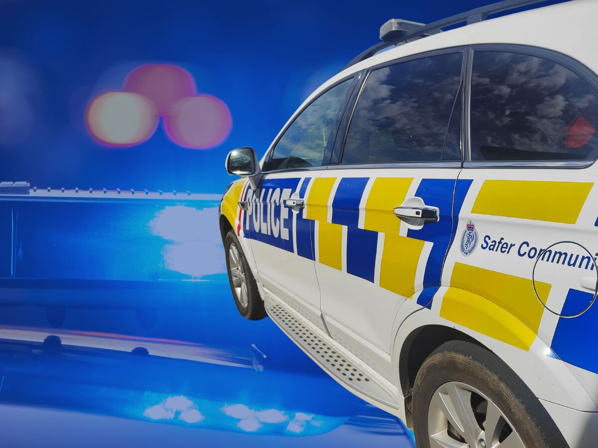
Black ice prompts Police warning
05 June 2025, 9:17 PM

Southern Police are asking motorists to drive to the conditions and take extreme care today (6 Jun) with black ice forming on Southland roads and snow incoming later throughout Otago.
Police said they had already attended one black-ice related crash this morning and are aware of another.
Thankfully no one has been injured but we want to ensure everyone gets to their destination safely, they said.
Meanwhile motorists on SH94, the Milford Road, are now required to carry snow chains after 5pm from Lower Hollyford to The Chasm.
The latest weather update, issued by 45S Weather Services, advises a small low just west of Haast is moving slowly north, with the front around this low lagging behind and lying through Foveaux Strait.
It is also moving only slowly north and probably won't get into northern Southland until towards noon or early afternoon, they forecast.
This front has also broken up somewhat and snowfalls don't look likely to be heavy at the moment, and may be patchy in nature below 400m
They predict that over the weekend a high will lie south of the Tasman Sea sand Stewart Island, with a slow moving low out towards the Chathams.
A cold SE flow is expected to cover New Zealand with rain and snow low on the hills into the east coast of the South Island, but there should be slowly improving weather over most of Southland, they said.